If you’ve visited Utah’s San Rafael Swell recently you may have left with a sense that something is awry. Visitation has dramatically increased in recent years—particularly with regard to motorized […]
Read More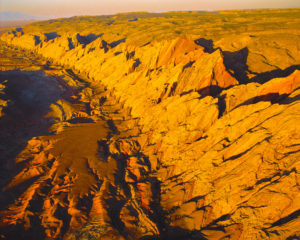
If you’ve visited Utah’s San Rafael Swell recently you may have left with a sense that something is awry. Visitation has dramatically increased in recent years—particularly with regard to motorized […]
Read More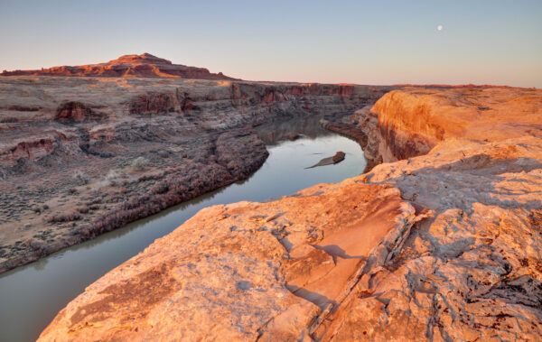
Good news! The Bureau of Land Management (BLM) has taken meaningful steps to protect the world-renowned Labyrinth Canyon and Gemini Bridges area near Moab! On September 28th, the BLM released […]
Read More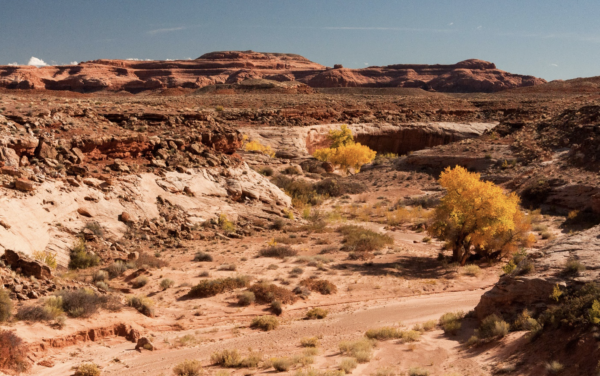
Bureau of Land Management Revises Destructive Motorized Plan in San Rafael Desert 120 Miles of Nonexistent, Redundant and Reclaimed Motorized Routes Removed FOR IMMEDIATE RELEASE Contact: Laura Peterson, Staff Attorney, Southern […]
Read More
The Bureau of Land Management (BLM) is accepting comments on a draft travel management plan for the iconic Labyrinth Canyon and Gemini Bridges area outside of Moab. The plan will […]
Read More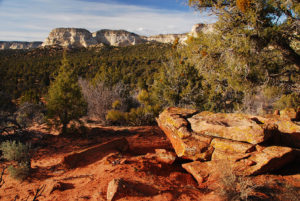
The Bureau of Land Management (BLM) is developing a motorized travel management plan for the greater Paunsaugunt area outside of Kanab—a plan that will determine where off-road vehicle (ORV) use […]
Read More